Where in the world?

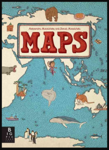
Mizielinska, Aleksandra and Daniel Mizielinska. Maps. Somerville, Mass.: Big Picture Press, 2013.
Expand your general knowledge with this creative book of maps. All of the continents and many countries are depicted in hand-drawn illustrated maps showing not only geographical features but also famous people, foods, sports, plants and animals, and tourist sites. In fact, everything that you might want to include in your own general knowledge of the world as well as coloured drawings of 83 national flags. First published in Poland, this English translation is highly recommended for readers 8 to 80 years old.

Click HERE for lists of places to know.

Click HERE to practise your knowledge of world geography. 
 

Do maps tell the truth?

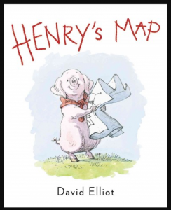
Elliot, David. Henry’s Map. New York: Philomel Books, 2013.
Henry is organized. Everything has its own place. And should stay in its place. But then he makes a map and confusion reigns over the farm yard. This cheerful story will have readers – and listeners – laughing as Henry discovers maps don’t always match what his eyes see. Recommended for ages 4 to 10.

More stories about country life HERE


What in the World?!

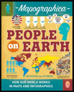
Richards, Jon and Ed Simkins. People on Earth. New York: Crabtree Publishing, 2017.

What is the most commonly spoken language on earth?
What is the most common language used on the internet?
What are the fastest growing countries on earth?
What countries are preferred by international tourists?
What countries give workers the longest paid holidays per year?
Learn all sorts of amazing facts in this 32-page book of charts and maps.

Recommended for inquisitive readers 10 years to 100 years old.

More titles in the Mapographica series:
The Human-Made Earth
The Natural World
Art, Culture, Sports